Service Overview
Project Planning
Satisfied Service
Dedicated Team
FAQ
Our surveys include levels, contours, boundary lines, buildings, roads, trees, utilities, and other surface features specific to your site and project needs.
This depends on the site size and complexity, but most projects are completed within a few days, with results delivered shortly after.
Yes. A topographical survey is essential for design accuracy, planning applications, and ensuring construction is based on real-world site conditions.
✅ Accurate & Detailed Mapping – Comprehensive data for informed design and planning.
✅ Faster Decision-Making – Clear site data reduces risk and speeds up approvals.
✅ Tailored Deliverables – CAD, PDF, or BIM formats suited to your team’s workflow.
✅ Cost-Efficient & Scalable – Suitable for small plots to large developments.
✅ Compliant with Irish Regulations – Surveys meet all local and legal standards
How It Works?
- Free Consultation
We discuss your site, project goals, and what you need from the survey. - On-Site Data Collection
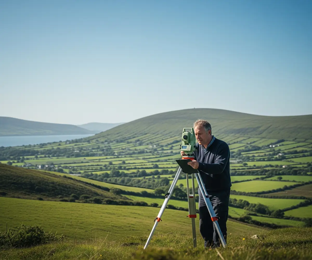
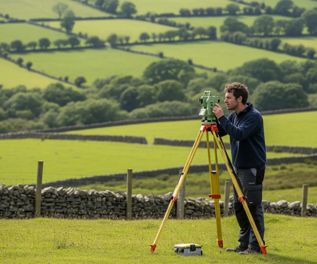
Our team visits the site with advanced equipment to capture all relevant features. - Data Processing & Drafting
Survey data is processed and turned into detailed plans or 3D models using industry-standard software. - Review & Delivery
We send you the results in your preferred format, ready for immediate use in planning, design, or reporting.


