Our Services
Construction Services That Exceed Expectations
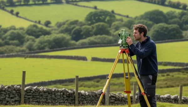
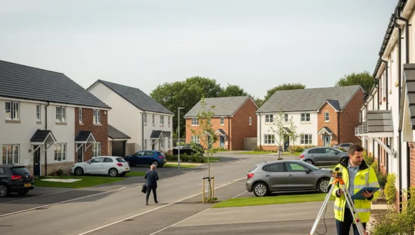
Topographical Surveys
Delivering high-precision topographical surveys that provide accurate and reliable data.
Read More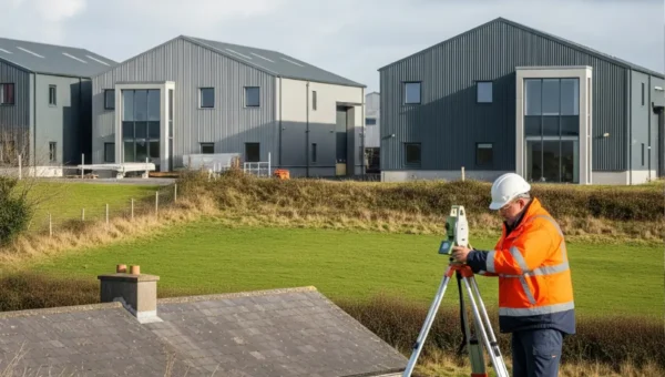
Measured Building Surveys
There are many construction project has the design has been completed available by the Professional
Read More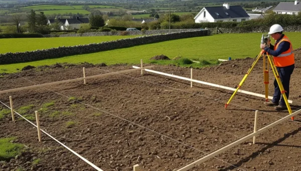
Setting Out
Ensures that construction projects are executed as designed. By transferring plans directly to the ground.
Read More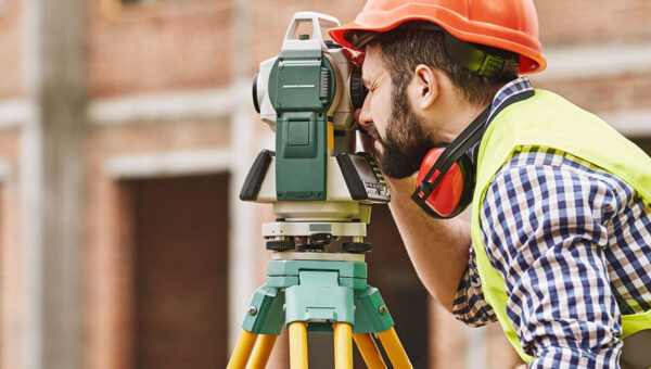
Legal Mapping
There are many construction project has the design has been completed available by the Professional
Read More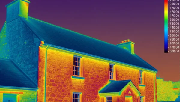
BCAR Management
There are many construction project has the design has been completed available by the Professional
Read More
Measured Building Surveys
There are many construction project has the design has been completed available by the Professional
Read More
Setting Out
Ensures that construction projects are executed as designed. By transferring plans directly to the ground.
Read More
+
Explore All
Our Services
Why Choose us
Defining Boundaries. Delivering Trust.
Our team delivers precise, dependable surveying services to support every stage of your project. From topographical mapping to boundary surveys, we combine experience with cutting-edge technology to ensure results you can trust.
Client Satisfaction
Our Vision & Mission
Project Planning
Why Choose Us
210
120
15
25
Get Your Accurate Survey Today!
Get Your Accurate Survey Today!
I highly appreciate the professional attitude to the work, the top quality and the responsibility with which they carried out the work. We had tight deadlines, and I would like to note that Victor completed all tasks timely.
Milen Bandakov
- Executive Director Thracian Cliffs Golf ResortVictor and his team showed excellent technical & organisational skills and precision in their work. We found their professionalism, dedication and problem-solving skills exemplary.
We consider Geocitymark Ltd. as a reliable and responsible partner in their industry.
Mr. Martin Iliev
- Managing Director, WPD BulgariaVictor and his team successfully completed even the most complicated tasks. I highly appreciate his professionalism, correctness and readiness to support the project at each stage.
I would like to recommend Geocitymark as a correct and professional partner in the scope of land surveying, geodetic, cadastre services.
Antonino Foti Rossito
- CEO, OTV Turkey (VEOLIA)Working with GeoCityMark was an absolute game-changer for our site development in south Dublin. The team delivered detailed survey data ahead of schedule, and their accuracy helped us avoid costly delays. Highly recommended.
Aisling Byrne
I’ve used plenty of surveyors over the years, but GeoCityMark stands out. Their topographical data was spot-on and tailored exactly to what we needed for planning applications. Brilliant service from start to finish.
Liam O’Donnell
GeoCityMark brings a rare blend of professionalism and local insight. They understood the unique challenges of our rural project and delivered with precision and clarity. A top-notch team.
Sean Gallagher
Contact us
Have a any query?
We offer a wide range of surveying services including topographical surveys, boundary surveys, measured building surveys, construction setting out, and laser scanning.
Survey duration varies depending on the size and complexity of the site but typically ranges from a few hours to a few days. We always provide estimated timelines upfront.
All the equipment is serviced and checked by the authorized irish dealer to ensure top conditions.
Certs can be provided by request.
We use advanced surveying equipment and technologies to deliver highly accurate results, usually within millimeter precision where required.
Typically, we require site access details, any existing plans or title documents, and specific requirements for your project.
Absolutely. We have extensive experience surveying urban properties, including complex sites in Dublin city and surrounding areas.
